St Pauls Church rd - Industrial LAND FOR SALE
Newton, NC 28658 |
St Pauls Church rd
Newton, NC 28658
OVERVIEW
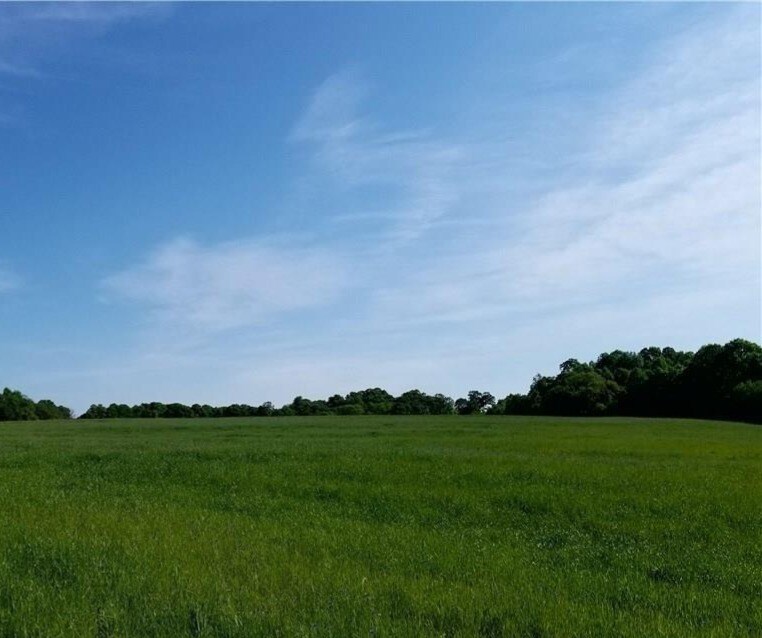
32.51 acre tract consisting of three combined parcels with a rolling topography zoned M-1. Conveniently located in the Saint Paul's Area Plan under the City of Newton's Planning District, this tract is within an easy commute of the I-40, Hwy 321 and Hwy 16 transportation corridors.
Agent Remarks
Tract consists of *PINs 373118327160, 373118316431 and 373118310419 combined as described in Deed Book 3089 Page 0679. Agent's disclosures: Seller has a real property tax deferral for agricultural use. Review Access Easement Agreement recorded in Deed Book 2934, Page 824, Catawba County Registry. Vacant Land Disclosure Statement and Saint Paul's Area Plan in attachments including the proposed transportation corridor and proposed greenway maps. Link: https://cms3.revize.com/revize/newton/departments/planning/docs/stpaulsareaplan.pdf.
Directions
I-40 Conover, exit #128 Fairgrove Church Rd heading S, L on Hwy 70, immediate R on St Pauls Church Rd, turn L at 1838 St Pauls Church Rd to subject property beyond the paved dead end, see sign
FOR SALE DETAILS
PRICE
-
# OF LOTS
-
LAND DETAILS
PROPERTY NAME
32.51 Acre Tract Zoned M-1
PROPERTY TYPE
Land
PROPERTY SUBTYPE
Industrial
LAND PROPOSED USE
Commercial, Industrial, Warehouse
LAND ACRES
-
LAND SF
-
OFFSITE IMPROVEMENTS
Sewer, Water, Electricity
ZONING
-
APN/PARCEL ID
-


