$5,700,000 USD

317-513-3575
OVERVIEW
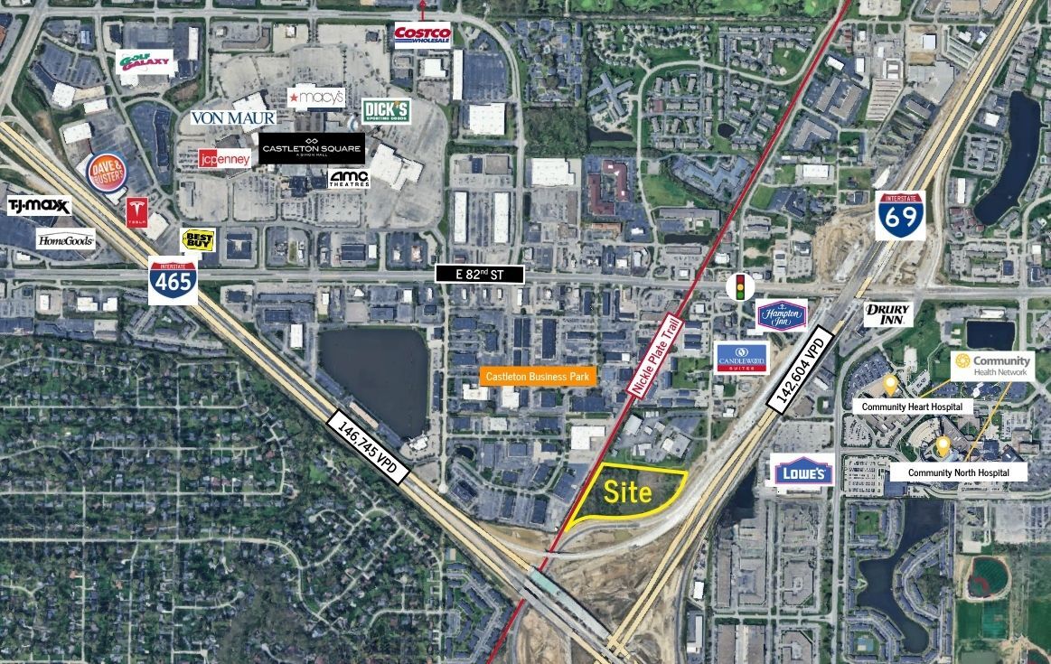
9.83 acres of prime, C-5, commercial ground located at the intersection of I 69 & 465 on Indianapolis' northeast side. All utilities are available at the site. The property is highly visible from both I69 and 465. Average daily traffic counts are approximately 142,604 on I 69 & 146,745 on 465. The property is an ideal site for health care use utilizing the same 82nd Street exit as Community Hospital North, Community Heart and Vascular Hospital, and Community Rehabilitation Hospital. Zoning also permits outdoor uses, such as, outdoor displays and entertainment.
The Nickle Plate Trail that runs adjacent to entire western property line is a 14’ wide asphalt trail designed for walking, biking, and running. The Nickle Plate Trail connects with the Monon Trail and the Midland Trace Trail, which together create a 41-mile loop that connects the Indianapolis, Fishers, Noblesville, Westfield, and Carmel communities. The trail promotes recreation, health, community, regional connectivity and spurs economic growth.
FOR SALE DETAILS
PRICE
$5,700,000 USD
PRICE/ACRE
$579,857/AC
PRICE/SF
$13 USD /SF
# OF LOTS
-
LAND DETAILS
PROPERTY NAME
I 69 / 465 Commercial Ground
PROPERTY TYPE
Land
PROPERTY SUBTYPE
Commercial
LAND PROPOSED USE
Retail, Auto Dealership, Health Care, Hotel
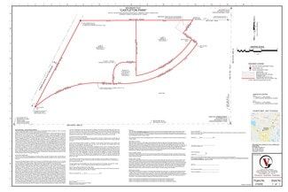
LAND ACRES
9.83 AC
LAND SF
428,195 SF
OFFSITE IMPROVEMENTS
Sewer, Water, Electricity, Gas, Streets, Curb/Gutter/Sidewalk, Cable, Telephone, Irrigation
ZONING
C-5
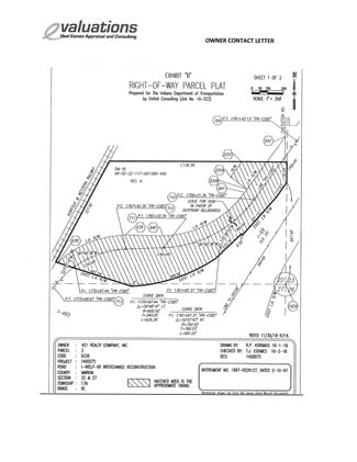
APN/PARCEL ID
49-02-22-117-006.000-400
ASK ABOUT THIS PROPERTY
Please correct the highlighted field(s).

317-513-3575
By clicking the button, you agree to Showcase's Terms of Use and Privacy Notice.
Please correct the highlighted field(s).
317-513-3575
By clicking the button, you agree to Showcase's Terms of Use and Privacy Notice.