23501 State Highway 71 W - Commercial LAND FOR SALE
Spicewood, TX 78669 |
23501 State Highway 71 W
Spicewood, TX 78669
OVERVIEW
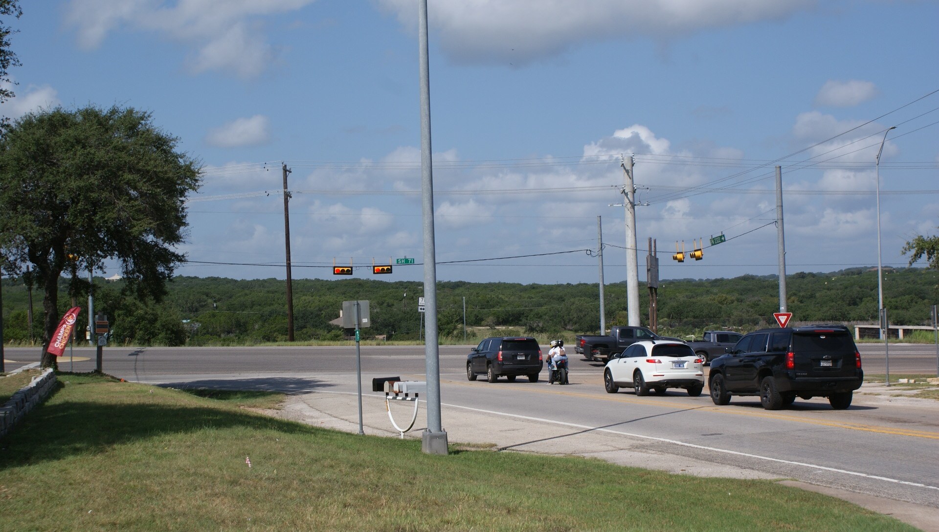
The tract features 918 ft frontage on west line of State highway 71 combined with 1.336 easement acquired with the property giving effective frontage of 1,425 ft. Guard rail prevents access to the property along north 600 ft. State highway department has approved access at the signal light at Pace Bend Rd S and State Hwy 71 W.. The property also features 2173 feet along the centerline of Lick Creek culminating at the cenerline of the Pedernales River to the North. which extends approximatley 46 ft. Currently the shoreline is accessible by boat or by un-sanctioned use of a steep foot trail running inside the southwest perimeter of the closed Texas Deparment of Transportations closed road side park. The intersection is controlled by lighted red light. Pace Bend Park Road S connects to Pace Bend park. Approximately 1/2 of the site (southern portion) is relatively level as is the 1.336 access easement and is buildable and out of any presumeably free of flood hazard risk. The remainder is steep bluffs which overlook Lick Creek and its confluence with the The properties highest point is 800 ft and the lowest point is centerline of Lick Creek and its confluence with the Pedernales River. No habitat for endangered species.
FOR SALE DETAILS
PRICE
-
# OF LOTS
-
LAND DETAILS
PROPERTY NAME
23501 Highway 71 West
PROPERTY TYPE
Land
PROPERTY SUBTYPE
Commercial
LAND PROPOSED USE
Retail, Hospitality, Restaurant, Service Station, Storefront Retail/Office
LAND ACRES
-
LAND SF
-
OFFSITE IMPROVEMENTS
Sewer, Water, Electricity, Cable, Telephone
ZONING
-
APN/PARCEL ID
374085


